“Don’t go chasing waterfalls; Please stick to the rivers and the lakes that you’re used to,” TLC sings in their song “Waterfalls.”
This is a LIE! When faced with the opportunity, especially in the great state of Tennessee, you should absolutely chase those falls!
Music city: neon lights, buzzing music and lots of alcohol anchor this Middle Tennessee metropolis. Nestled in the surrounding hills, this city sits just a short drive away from some of the country’s best waterfalls. After a night of jamming out to the broadway bands covering your favorite country songs, a trek into the woods is very much needed. Here is the best way to do it.
All of the following waterfalls are within a two hour drive from SoBro. If you’re flying into the city, renting a car will be necessary
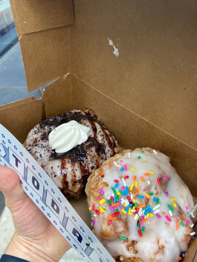
Before even beginning your journey, stock up on snacks and coffee at the city’s Parlor Donuts. With a location Downtown and in Midtown, they’re very convenient for the freeway-bound. I’m literally in love with these donuts – be sure to get the French Toast!
Start your journey by hopping East onto I-40. The horizontal artery of Tennessee, this freeway traverses from the Smokies’ North Carolina Border, all the way over the Mississippi. We’ll barely be covering 10% of the state’s 455 miles on the way.
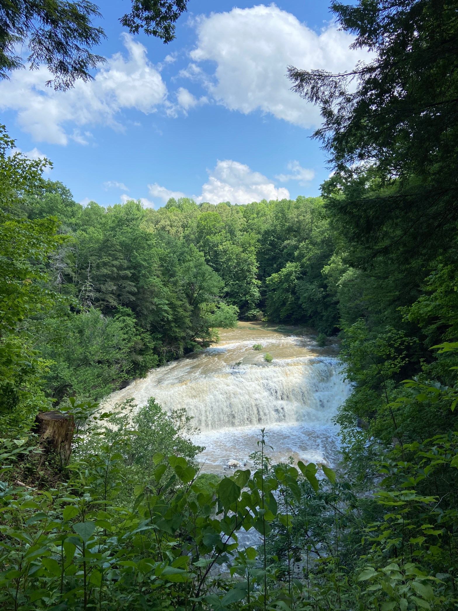
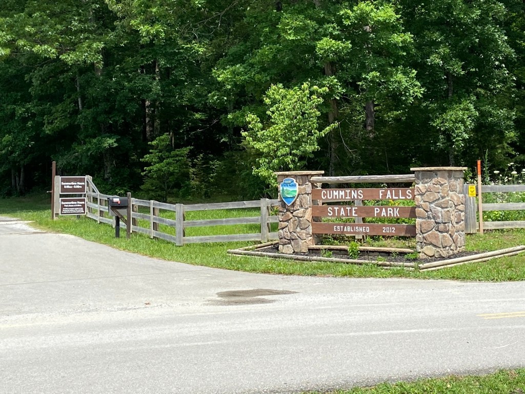
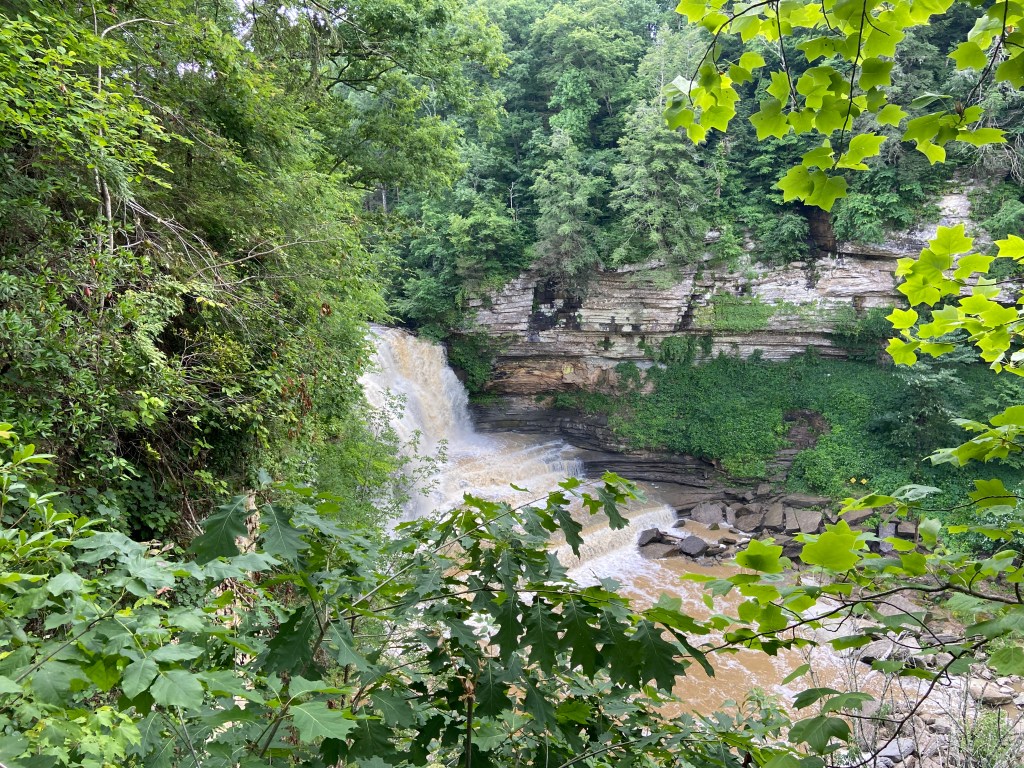
The freeway winds it’s way out of Nashville and slowly up the Cumberland Plateau. Nearing Cookeville, it gets steeper before cresting back into the flatlands. The drive to Cummins Falls State Park is about an hour and 15 minutes. The Blackburn Fork River falls about 75 feet, making it the eighth largest waterfall in the state.
The falls usually have a swimming area at their base, but we visited during flash flooding. It’s a good idea to check before heading over, as the weather forecast greatly influences the status of swimming. The ranger recommended giving them a call before making the drive. You also need a permit to enter the gorge, but they can be purchased online. I believe they issue 200 a day. Don’t fret, they’re only $6.
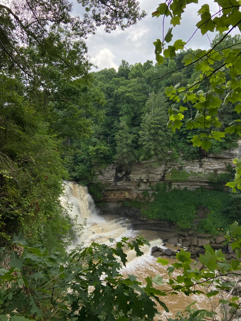
However, the trail to the falls’ overlook is entirely free and can be accessed without a permit. The half mile path cuts through the woods climbing up and down the hills.
Important to note that we saw a lizard…

And the view from the overlook:
I feel like a trip to the falls in the winter would yield better views, substituting the vibrance of the green with less leaves in the way.
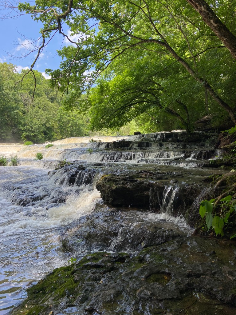
We tried to take the 1.5 mile trail into the gorge, but they literally blocked the path. Do not break the park rules! The gorge is incredibly dangerous during flash floods.
The characteristic staircase of the descending falls was completely covered with rushing water.
Alas, it was still a pretty waterfall and a nice hike through the woods.
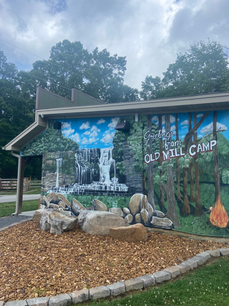
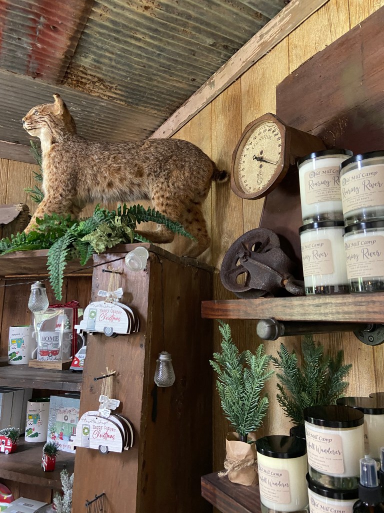
Right outside of the park, there’s a small general store, Old Mill Camp General Store, with merchandise, snacks and a perfectly photographable mural. There’s a campground behind the store if you want to stay near the park.
Only 30 minutes south from Cummins is Burgess Falls State Park, right across I-40 in Cookeville.
Between the two, we stopped at the Cookeville Publix where I introduced my friends to PubSubs! Cookeville itself is a small college town. Maybe I’ll write a little about it eventually, but Cane Creek Park on Cane Creek Lake is worth a stop, as is the neon backed Cream City ice cream shop. Back to the waterfalls!
Bordering the parking lot is the first of many waterfalls in this park:
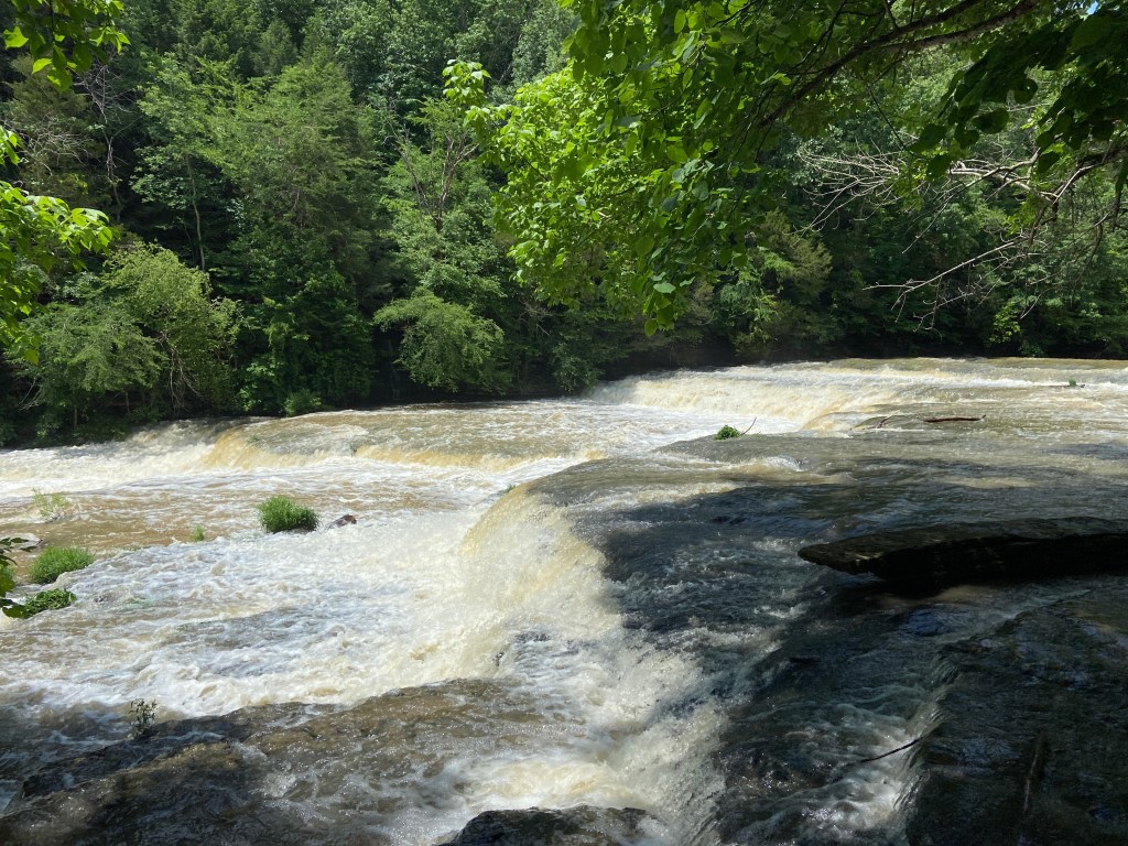
I think the excessive rain played a part in the sheer amount of water barreling over the rapids, but it was astounding to see. The aptly named Falling Water River gives the water to, uh, fall.
These small cascades were barely precursors to the other monsters around this park!
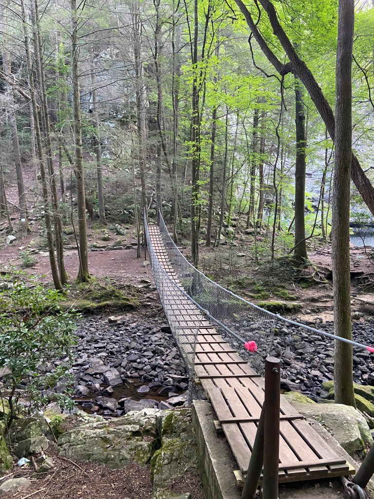
We started on the trail and were quickly met with a doomed suspension bridge.

As the trail climbed up the ridge, we separated more from the river below. Winding up the cliff, there were smaller waterfalls framing the opposite side of the trail. When they plunged to the river below, small bridges gave us a pass over.

Turning a corner, and coming out of the woods, our jaws DROPPED to see this:

Sure, it’s not the biggest or most powerful waterfall in the world, but there’s a damn lot of water pushing over.
It came out of NOWHERE too! One minute the river below is flowing steady and flat. We breach a small cliff, dissolve our view of the water and BAM!
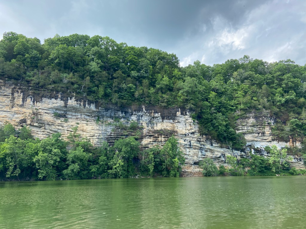
Almost immediately after, the trees opened and we saw what looked like another rocky cliff from across a ravine.
We heard more crashing water, assuming it was the echoes of the falls we passed, but were treated to an even MORE stunning reveal:
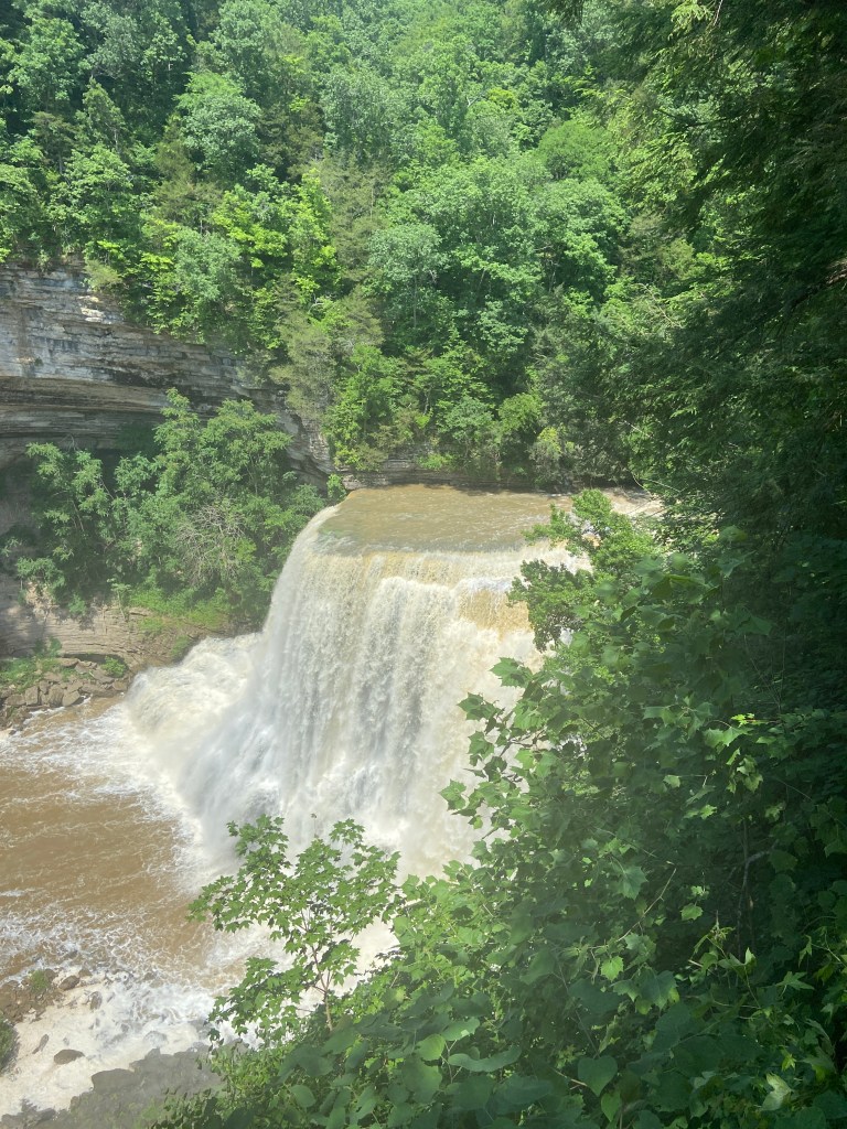
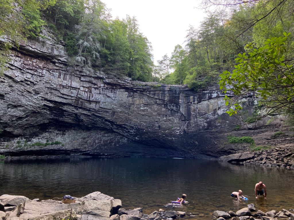
This is Burgess Falls, the namesake of the park. The 130 footer is one of the largest in the state.
Pictures don’t do this waterfall justice. Here’s a video of some boaters jetting to the base for scale.
The view is TOWERING over the drop.
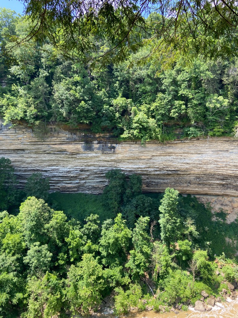
I wanted to throw in this picture of the cool cliffside on the other side:
We took the Ridge Trail over to the three falls. It’s a half mile from the lot to final boss falls. Walking back was a bit easier, as we opted for the fire access road. It was much more level, but completely bypassed the second falls.
We had gotten a late start to the day, so I didn’t get the chance to see all of the falls on the list, but we decided to make a final stop.
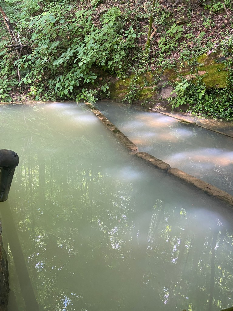
Rock Island State Park is 30 minutes further south from Burgess Falls. The park is known its beach area with a very swimmable lake, but there’s also a pretty cool waterfall!
What this cluster of waterfalls lacked in size compensated by feeling otherworldly, especially in the context of its Tennessee neighbors.

Across the from the small parking area was this strange mill.
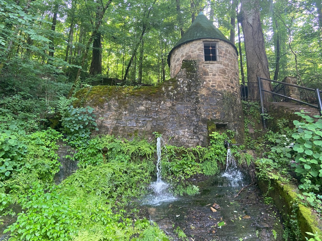
We hiked up to find it supporting a retention pond, with a small stream flowing out to create yet another waterfall.
There was also this ominous brick building sitting atop the opposite hill.
We drove down to the “beach area” only to find it flooded!
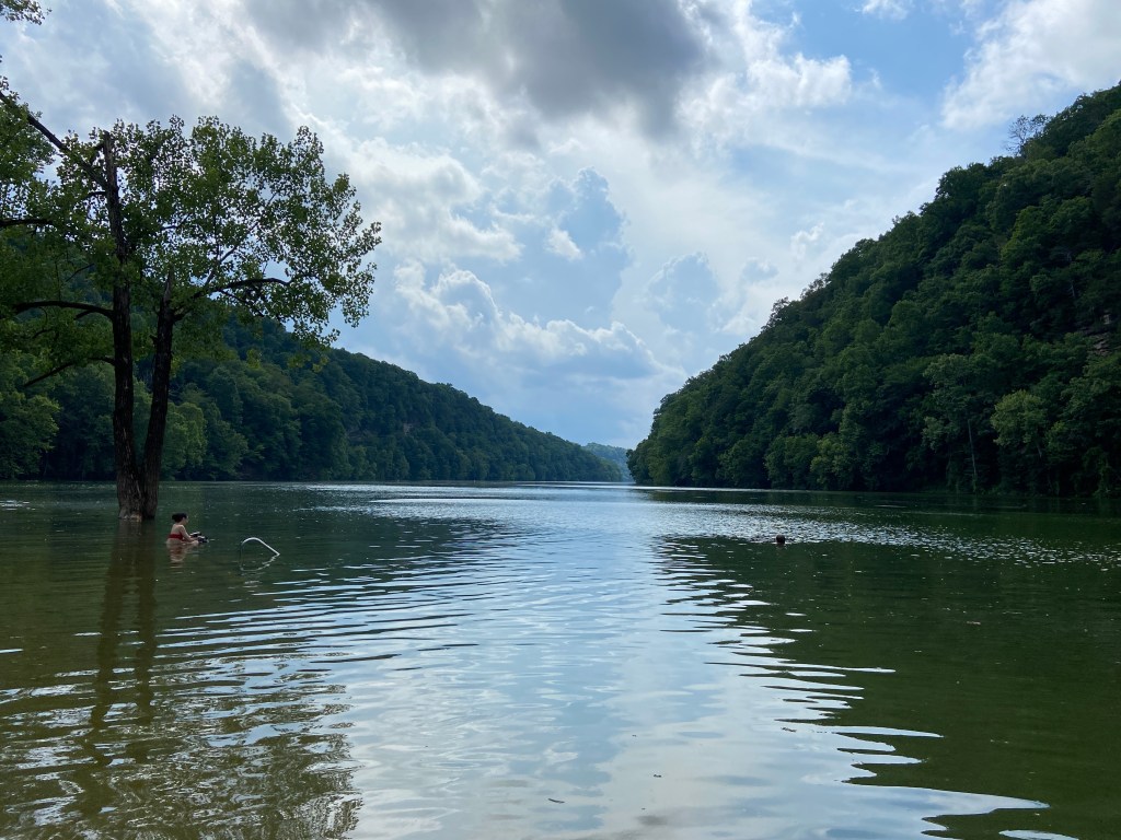

The lake was pretty!
None of us felt too inclined to swim in the brown water. The floating duck poop made it even less enticing. I also am not a huge fan of secluded lakes in the south, only because of my intense hatred of snakes. There were some others swimming out to the dock having a blast, so to each their own.
~Note From Present Jonathan~ The park’s main falls are called Twin Falls, and we completely missed them. They’re a bit of a trek but look absolutely GORGEOUS!
Unfortunatley, my friend had dinner plans in the city, so we had to head back. The drive back from Rock Island was about an hour and a half. We opted for the back roads and descended the plateau as we were chased by a rainstorm.
We pulled back into music city before dark! We didn’t ~technically~ finish the waterfall trail, but we did see some incredible falls.
Had we had more time, here are our missed stops:
Welch’s Point
About 40 miles away from Rock Island, this is a gorgeous overlook!
Fall Creek Falls State Park
This park is 30 miles south of Welch’s Point. It has Cane Creek Falls and Fall Creek Falls, the latter being one of the tallest waterfalls in the eastern US. I’m very bummed we missed these, but will be back.
Foster Falls
An hour south from Fall Creek Falls State Park…
Some waterfall. You can’t see it in this picture, but there’s the SMALLEST trickle of water peering over the edge. Quite the opposite of the others mentioned.
I visited these falls on my way back from Chattanooga a few weeks after this trip. There was a really cool suspension bridge though. That made it worth the stop.
I will say, it was a pretty strenuous climb down to the falls from the parking area, so tread with caution.
From here, its a short 1.5 hour drive up I-24 back to the city.
I never really know how to wrap these up, so I’ll finish by saying this. Nashville is great, Tennessee is great and waterfalls are great. Therefore, this trip will be great!
