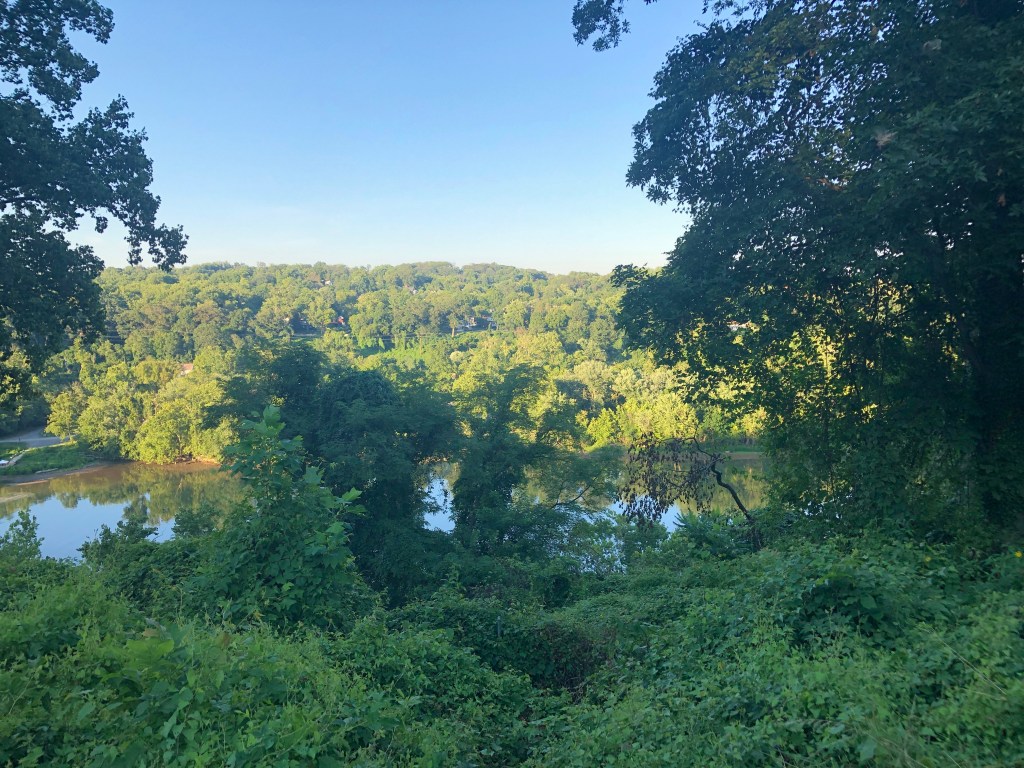
Are you looking for a place to walk in the DMV that’s accessible by Metro? Look no further! I have compiled a list of trails close to each station.
To be included, the trail had to be at least a mile long and under a mile from the station. It also had to possess some form of unique quality to be included; random sidewalks along roads do not meet this. For stations utilized by multiple lines, I usually only write about the trail once.
I was honestly really surprised at the sheer amount of nature accessible from the metro and think you will be too.
Live along a certain line? Jump ahead here:
Orange | Silver | Blue | Green | Red | Yellow
Orange Line
Vienna
Gerry Connolly Cross County Trail
The 40-mile trail cuts across Fairfax County, but only brushes near the metro in Vienna. The Cross County Trail starts down by Lorton and winds its way through Annandale, Burke, Springfield and Oakton before ending at the Potomac River in Great Falls. The access point is about a mile from the Metro and you can travel in either direction.
Just north of Vienna is Nottoway Park. The space holds some ballparks, a historic house and a few trails through the small wooded area. While none are over a mile, the park is a nice wooded recluse. During the summer months the park has some free concerts.
East Falls Church
WOD Trail/Four Mile Run/Custis Trail
These three separate trails all converge for a bit right by the East Falls Church Metro Station. The portion directly next to the trains follows a small creek and passes through Benjamin Banneker Park before turning toward a stately neighborhood. When they eventually splitting, you can travel everywhere from Alexandria, Rosslyn and Purcellville. Here’s more information about the WOD Trail, Four Mile Run and Custis Trail.

Rosslyn
Across a branch of the Potomac River is Teddy Roosevelt Island. The illusion of seclusion is mystifying, as there are points on the island it feels like you’re in the middle of nowhere! One time, I almost stepped on a snake. Stumble around enough and you’ll uncover the large monument to Former President Roosevelt.
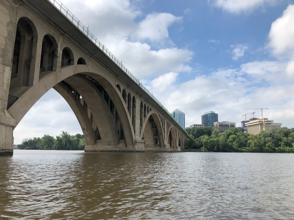
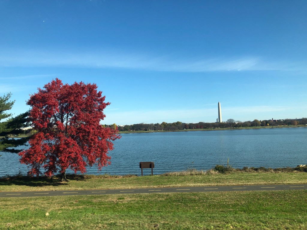
I believe the star of Northern Virginia’s bike network is an 18 mile trail that follows the Potomac River from Mount Vernon to Rosslyn. It’s a really nice paved trail that passes fun things such as Dyke Marsh, Downtown Alexandria, Gravelly Point, Teddy Roosevelt Island and many other Northern Virginia sights. It also connects to other trails, such as the Custis Trail and Four Mile Run. Other access points on the Yellow and Blue Line are at Potomac Yards and National Airport and at the Blue Line’s Arlington Cemetery.
There’s a ton to see in Arlington National Cemetery, from the Iwo Jima Memorial to the eternal flame in remembrance of JFK. The Cemetery is a few blocks north of the Metro.
For an ultimate tour of Arlington, you’re going to want to take the 4.8-mile Custis Trail. However, I will warn you that the Custis Trail is a commuter trail. An embarrassingly large part of it follows Interstate 66. There are a ton of trails branching off to more secluded spaces.

Capitol South
U.S. Botanical Gardens
Ok this is kind of different than everything else on the list, but I figured I should include the Botanical Gardens. Visit the free gardens and conservatory to see plants from every part of the country!
Stadium-Armory
Kingman and Heritage Islands are two stretches of land in the Anacostia River. From the Metro station it’s a little over a mile to the bridge that crosses onto Kingman. There’s a two mile trail (full path on AllTrails) that weaves around the two islands.

Minnesota Avenue
Almost everything I read stated the trail was 20 miles long, but that only 12 were utilized. The National Park Service goes so far to tout it as venturing through “forest, fields, marsh and river ecosystems.” It seems like a peaceful trip as much of the trail is removed from the roadway and set aside from development on the other side of the river.
Deanwood
This is another attraction that’s not technically a trail. It’s a manicured garden maintained by the National Park Service! The park is open year round with the most considerable blooms happening in the spring and summer. Also in the summer are when the iconic water lilies are in bloom. Another popular activity is birding, the park says there are upward of 248 species of birds.
Silver Line
Capitol Heights
The two mile trail starts just a couple hundred feet from the Capitol Heights Metro and is right on the D.C./Maryland border. It loosely follows Watts Branch next to some apartments and through a patch of woods. The namesake singer-songwriter is from the neighborhood and is commemorated with a statue.

Benning Road
Barely in the confines of D.C., Fort Dupont Park has over ten miles of trails. The park holds remnants of an earthen fort built to protect the city during the Civil War. Outside of trails, there is a community garden and concerts on Saturdays in October! From the park, a connecting trail links a few other nearby forts.
Spring Hill
Connected to the Metro by a bike trail, this small park has a loop that’s under a mile. Honestly the only reason I included it, aside from its accessibility to the metro, was because there were a lot of photos of deer.
Wiehle-Reston East
Who knew you could bike from Shirlington to Purcellville? The 45 mile paved trail juts through the Northern Virginia landscape and passes through some really pretty sights. My favorite points of the trail are Leesburg and Vienna. Metro access is at East and West Falls Church, Wiehle-Reston East, Reston Town Center and Loudoun Gateway.
Lake Fairfax isn’t huge, but has some nice trails around it. For a longer adventure there is a ten mile loop that utilizes trails the WOD Trail and trails in Difficult Run Park.
Herndon
This trail branches off from the WOD Trail. As the name would suggest, it follows Sugarland Run up a few miles to the Sugarland Run Stream Valley Park. It’s about a mile from the Metro station to the trailhead.

Blue Line
Arlington Cemetery
Another connection to the cemetery, the blue line takes you to the eastern side of the park.
Washington Reagan Natl.
The fact you can BIKE to the airport is still so cool to me. Here’s another option to hop on the bike trail too.
Potomac Yard
The mildly misleading name holds a 7.7 mile trail along a Northern Virginia stream. The trail starts where Four Mile Run meets the Potomac River and follows it into Virginia. The trail eventually morphs into the WOD Trail, so you can theoretically go all the way to Purcellville. It’s a really well maintained trail that swaps between dense forests and suburban neighborhoods.
A typical railside trail, this 2.2 mile paved pathway follows the Metro tracks. It starts around Braddock Road and terminates right before Potomac Yard. For some reason it doesn’t seem to directly connect to any of the other trails in the area and seems very urbanized.
Daingerfield Island
Lush Daingerfield Island holds some of the Mount Vernon Trail. While the park’s star attraction is its marina, there are a number of playing fields and a small trail that leads to the Potomac.

Green Line
College Park
There’s a point around College Park where all the natural areas kind of blend into one. Here’s my best effort in distinguishing them…
The lake isn’t huge, but they somehow managed to create a 2+ mile trail around it! The route to the park from the Metro is a bit confusing, there are a couple trails to get around College Park Airport, but it’s only a mile away. The lake itself is serene with a paved pathway and a fishing pier.
A 4.5-mile portion of a much longer trail, Paint Branch Trail starts right by Lake Artemesia (see above), passes the university and ends up by 495. According to online reviews, the trail also passes right by the airport runway.
Greenbelt Park itself is just under a mile from the Metro stop, but it looks as if many of the trails are deeper inside the park. Regardless, it’s a really nice natural space right outside the city.
West Hyattsville
Another access point to the Anacostia River Trail
West Branch Trail
West Branch Trail is a monster of a trail in Rock Creek Park. A lot of trails on this list lead down to the trail, but West Hyattsville is the only station within a mile. Simply put, the trail follows the entirety of Rock Creek on the western side.
Columbia Heights
Piney Branch is yet another trail climbing down to Rock Creek that winds along a small stream. It’s unique in the fact that it’s on the eastern side of the park. From the Metro station, the starting point is about 3/4 of a mile.
Navy Yard

On the north side of the Anacostia River is this two mile trail through a revitalized neighborhood. The pleasant walk goes from Nationals Park to the I-695 bridge. The trail takes a pause after, but picks up again as the Anacostia River Trail. In Navy Yard, be sure to check out The Yards Park and grab some great views of the iconic Frederick Douglass Memorial Bridge.
Anacostia
Anacostia Riverwalk Trail
Yet another access point to the riverwalk. See Above for details.
Red Line
Rockville
Civic Center Loop + Rock Creek Trail
It’s only a mile to get to the Rockville Civic Center from the Metro station. Follow Baltimore Avenue to roughly a 2.5 mile loop around the park. Much of it follows a small stream. The park doesn’t actually connect to the Rock Creek Trail, but it’s a short detour down a few roads to get to it.
Twinbrook
I never really considered the fact that Rock Creek Park extends outside the city. From the Metro Station, you’ll take a few roads to the Twinbrook Connector Trail. Going north will eventually lead you to a few lakes in Rock Creek Regional Park while south is about a ten mile trip back into D.C.
Bethesda
Commencing in Georgetown and eventually resuming its full path to Silver Spring, the current eight-mile Capital Crescent Trail basically terminates in Downtown Bethesda, or a few blocks away from the Metro. The trail’s a great place to bike and gives some really pretty views of the Potomac in its first half. There’s even a hidden waterfall right outside of Georgetown.
Little Falls Park Trail
The short half mile trail connects the Capital Crescent Trail to a few neighborhoods in Bethesda. It’s paved and goes alongside a small stream. It starts in Norwood Park, which houses some sports fields and playgrounds. The trail picks up a few miles down Little Falls Parkway, but the second half is only accessible from the Capital Crescent Trail.
I contemplated including this trail, it seems as if much of it runs along roadway. At just under six miles long, 4.5 of which are on dedicated, off-road pathways, it runs along the Red Line and can easily be accessed by any station between Bethesda and Twinbrook. Maybe skip this one unless you’re looking for an urban bike ride in Maryland.
Tenleytown
This monster of a trail stretches from Van Ness Street to Georgetown’s Canal Street and eventually to the Potomac River a little over two and a half miles later. On the way, it passes through Glover Archbold Park, a 183-acre NPS protected park in the city. The trails are unpaved and described as “rugged.”
Van Ness-UDC
Yet another trail that goes down to the Rock Creek Trail, Soapstone Valley feels very wild. This is about to get kind of repetitive, but it follows a small stream and is about a mile.

Cleveland Park
Before erosion closed it, the Klingle Valley Trail was a road. The 3/4 mile trail is just under a mile from the Metro and winds into one of Rock Creek’s many valleys. At its opposite end, it brushes alongside the National Zoo and crosses a small bridge over the creek.
National Zoo
I would consider the forested pathways of the National Zoo trails, but even if you don’t, you can’t argue that there’s a ton of nature in the park! An alternative stop is Woodley Park-Zoo, but the walk from Cleveland Park is all downhill. There’s also a Target.
Rock Creek Park Trail
See Above; there’s another access point to the trail.
Reservation 630 Trail/Western Ridge Trail
You wouldn’t believe this trail started on Connecticut Avenue after only a few steps. In the summer, a small wooden sign is the only indication of its existence, which leads into a dark, forested hollow. From Connecticut Avenue, it’s about half a mile to the Western Ridge Trail which runs along Rock Creek. The trail has a few water crossings, but the stream isn’t usually deep.
Silver Spring
Valley, Holly and Pine Trail Loop
Okay so this trail is technically a little over a mile away from the stop, but it’s one of the few on the eastern side of Rock Creek Park. In it’s two miles, it winds down into the park and goes along the creek for a bit.

Forest Glen
Sligo Creek Stream Valley Park
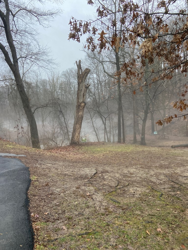
The ten mile Sligo Creek Trail runs along Sligo Creek almost parallel to the D.C.-Maryland border. Among its many access points, the Forest Glen Metro Station is only a half mile away which makes it the closest station. The station is also the deepest in the Metro system, almost 200 feet below ground! I’m trying to remain unbiased in writing this, but I think this is the trail I want to check out the most.
Glenmont
The park is about a mile away from the eastern terminus of the Red Line. Wheaton features a miniature train, a ton of tree coverage and a bunch of other attractions. Of the park’s neighborhoods, Brookside Gardens is closest to the Metro and has a few trails winding around the plants. The longest trail, the Little Bit Loop, is just under two miles.
Yellow Line
Huntington
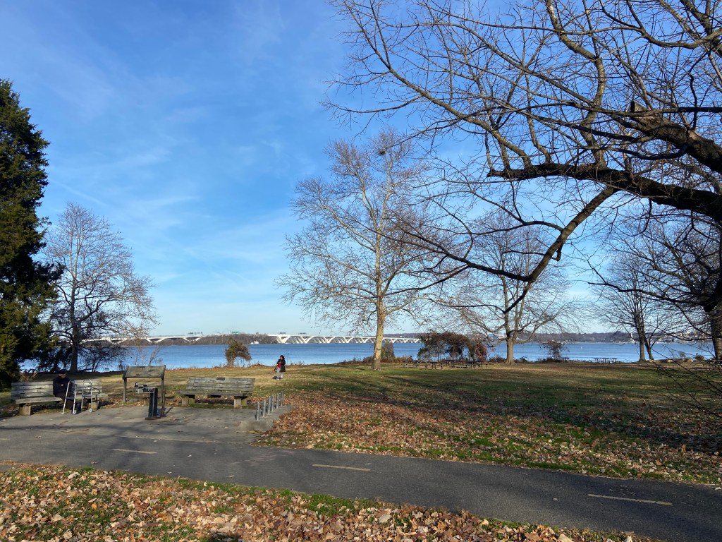
I hesitated including this on this list, it parallels the traffic crossing the bridge, but what’s not to love about a fun little bike/walk/run over the river? The trip between the Metro station and National Harbor is about three miles one way. Be sure to stop at Jones Point Park which is underneath the bridge on the Virginia side. If you don’t want to walk back, National Harbor has water taxis that can take you back to Old Town Alexandria.